I wanted to visit lighthouses while we were in the Northwest and we went to a couple in Washington. Soon after crossing the border into Oregon I became aware that there are nine historic lighthouse on the Oregon coast and became obsessed with the idea of making a pilgrimage to each one on our trip south along the coast. This actually sounds easier than it is to accomplish because they all have their own quirky open days and times. We did it in three days of travel so I was pretty proud of us, although it involved a little backtracking and supreme patience on Scott’s part. [Read more…] about 9 Oregon lighthouses
Scott and Sue Family
Columbia River adventures
We started Day 14 with a visit to Fort Stevens, which is now an Oregon State Park. In a past life it was a Civil War-era nine-sided earthworks fort. There is a reconstruction on the site of this 1863 fort with the entrance into the earthworks.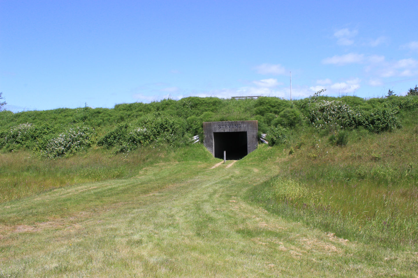 Ft. Stevens was also used for coastal defense during WWI and WWI and there are still gun batteries to climb over and view, plus an interesting museum detailing the history of the fort. We clambered and hiked all over and also saw the foundations of WWII barracks and the site of a Native American village. [Read more…] about Columbia River adventures
Mount St. Helens
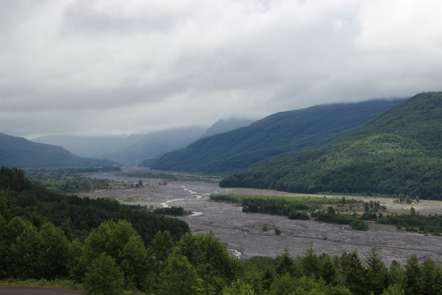
Scott was In South Korea serving his LDS mission in spring 1980 when Mt. St. Helens erupted and as a student of geology, he has always wanted to see it. So we added it to the itinerary of this trip to the Northwest and made it on Day 13. It’s a fairly long drive up Highway 504 to the top of the volcano and Johnston Ridge Observatory. The road runs through this valley that was filled with ash, rocks, and water from the rapidly melting glaciers on the mountain.
Monopoly perpetual reading challenge
Update: June 23 I finished this challenge! Here’s my post with my books.
Thanks to Bev at My Reader’s Block, I’ve been tempted by a super fun challenge-Book Monopoly.
I’ve joined the group that sponsors this at goodreads @ Crazy Challenge Connection and I’m ready to play. I’ll update this post with my rolls and the book I read for each turn. [Read more…] about Monopoly perpetual reading challenge
Southwestern Washington
We spent the day exploring the corner of Washington and the mouth of the Columbia River. We started the day by going to the North Head lighthouse, which was built in 1898 and has been active to the present. It has a 65 foot tower and the light is 190 feet above sea level. Washington State Parks maintains the structure and the Coast Guard maintains the light. [Read more…] about Southwestern Washington